|
|
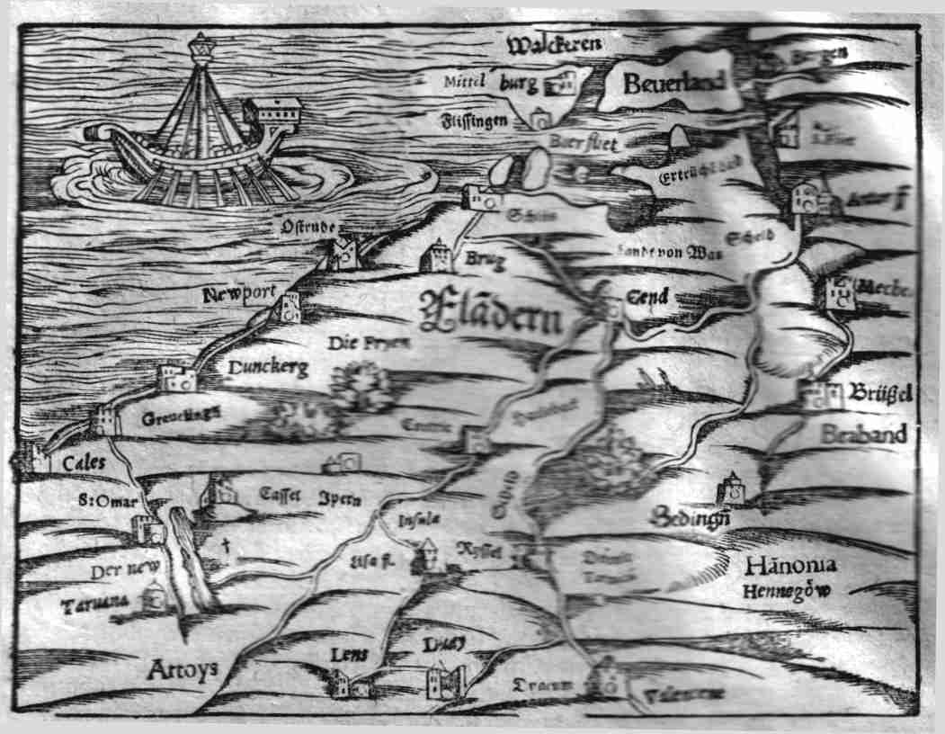
| Von dem Landt Flandern. 15.2x11.5 cms. Ptolemaic map set in text of Flanders and what is essentially modern western Belgium . Covers the area and cities of Calais, Dunkirk and Ostende on the Atlantic coast to Brussels in the east, Bergen and southern Holland to the north and Valanceine in northern France to the south. Ship or most probably floating lighthouse in the ocean. Ref: MHOL3 Price: $ 275.00 |