Price: $ 28.00
Price: $ 28.00
|
|
|
|
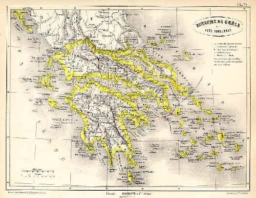
Royaume de Grece et Iles Ioniennes engraved
by Erhard after Vuillemin, published in Atlas Universel D' Histoire
et de Geographie, Paris, 1877. Lithographic map with original hand
colour. Size 26 x 19.5 cms. Price: $ 28.00 |
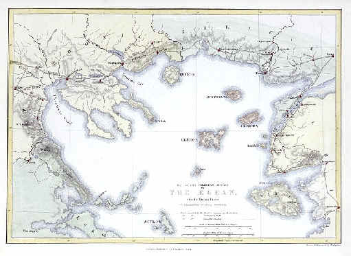
Map of the Northern Shores of the Aegean with
the Roman Roads .. published by
Longman & Co. in The Life of St. Paul, 1856. Steel engraved map with
recent hand colour. Good condition with good margins. Size 25 x 17 cms. Price: $ 28.00 |
Pages 1 2 3 4 5 6 7 8 9 10 11 12 13 14 15 16 17 18 19 20 21 22 23 24 25 26 27 28 29 30 31 32 33 34 35 36 37 38 39 40 41 42 43 44