|
|
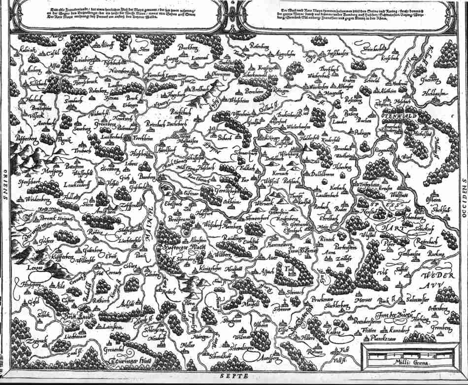
| Franckenland am Mayn beschriben nach aller gelegenheit/Stetten/Bergen/Wassern/ Waldend/ und ausstossenden Landern. 36x30.5 cms. Title above top margin; text in cartouches at top and scale at bottom. Slight staining confined to margins and not affecting map area. A Ptolemaic double page map covering the area around the river Main and its tributaries in Northern Bavaria. NORTH is at the bottom of the map. Ref # MGER5 Price: $ 280.00 |